Floodplain Management
Collins Creek Floodplain Risk Management Study & Plan
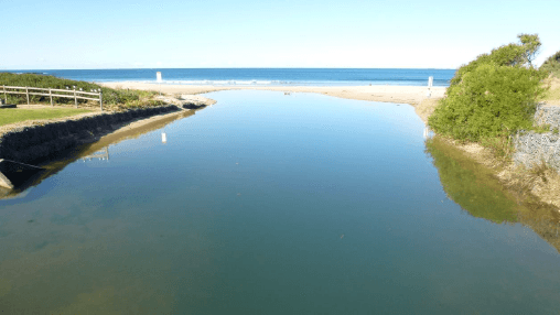
The Collins Creek Floodplain Risk Management Study & Plan was developed to help Wollongong City Council better understand and manage flood risks across five interconnected catchments: Bellambi Lake, Bellambi Gully, Farrahars Creek, Collins Creek, and Whartons Creek. Covering 14 km² between Bellambi and Woonona, the study area includes residential, commercial, and industrial zones highly susceptible to overland and mainstream flooding due to intense rainfall and stormwater system capacity limitations.