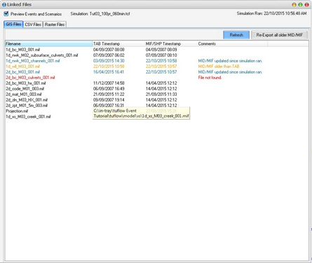
Via the right click menu, all linked GIS, CSV and raster files associated with a simulation can be viewed. The GIS Files tab displays the MapInfo or ArcGIS vector files that are referenced by the simulation. A comments column and row highlighting are indicative of common errors and warnings including:
•Missing files
•MID/MIF files that are older that the corresponding TAB
•MID/MIF/SHP files that have been updated since the simulation was last run
The right click menu for a row will allow you to open any of the files, their folder, or re-export the TAB to mid/mif. The Preview Events and Scenarios check box indicates if you wish to view only the files associated with the simulation or all the files for all event and scenario combinations.
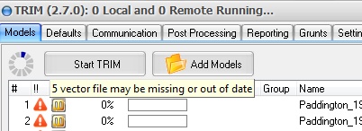
If a simulation has missing or out of date (TAB newer than MID/MIF), then a warning will be generated in the '!!' column. A description of the issue will be shown in the tooltip and the Linked Files form can be displayed by double clicking on the warning icon. This depends on your settings (on by default).

If a simulation has been run and is marked as complete, yet some of the GIS files have been updated since it was run, this may be indicative of an out of date simulation. TRIM can display a warning icon in this case depending on your settings (off by default).

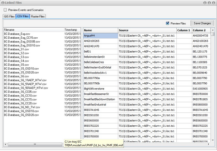
The CSV Files tab shows all the CSV files that are referenced by the simulation. These can even be viewed and edited in the grid (refer image below). The right click menu allows these files to be opened in text editor, by an associated application (eg. Excel) or open their folder.
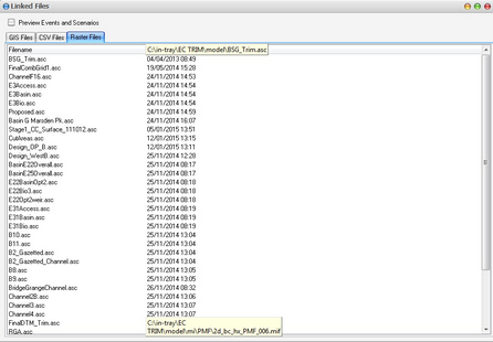
The Raster Files tab shows all the Raster files that are referenced by the simulation. The right click menu allows these files to be opened in text editor, by an associated application or open their folder.


