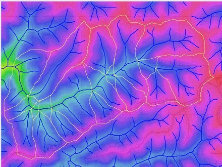
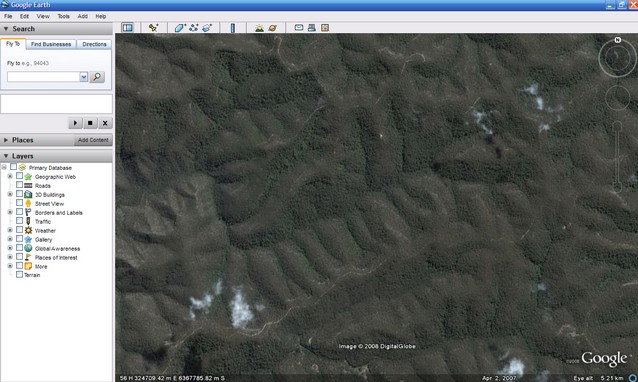
The 'View this area in Google Earth' menu option will open Google Earth (if it isn't open already) and will display the CatchmentSIM study area within the main Google Earth view window (refer images shown below). This can be useful when no aerial imagery is available for your study area and assists in gaining an appreciation of the characteristics of the study area. This view can then be imported into CatchmentSIM using the Import Current Google Earth View menu item.
It should be noted that Google Earth must be installed on your computer to use this facility. It should also be noted that no CatchmentSIM information will be incorporated within the Google Earth view. In order to achieve this you should select the Export to Google Earth Option menu item.


