RORB is a freely available hydrologic model maintained by HARC. The workflow associated with the RORB script is outlined below.
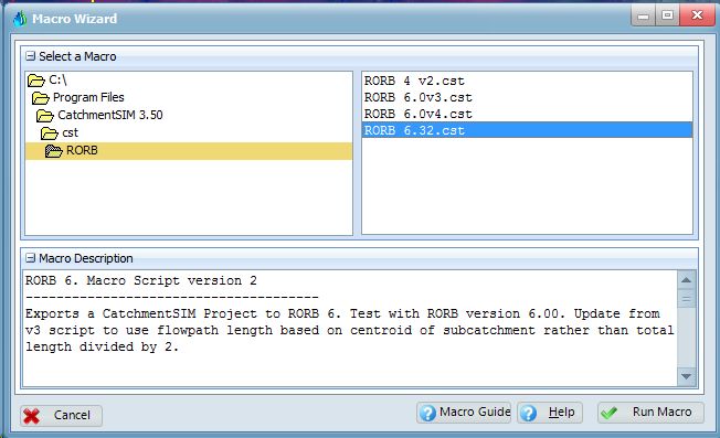
Select Run Macro Wizard from the Export tool and select the appropriate RORB script from the RORB folder.
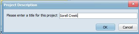
You will be prompted to select a file name for the RORB file and a title.
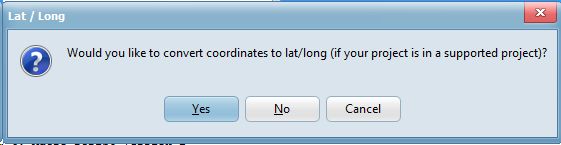
CatchmentSIM can offer to convert coordinates to latitude and longitude which may better support import into Storm Injector or other packages that utilise real world coordinates.
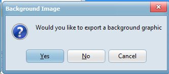
CatchmentSIM can export a background image for display in RORB GE.
You will be prompted to select the print locations for hydrograph information.
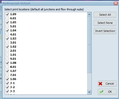
RORB print location export the hydrograph upstream of the node. As such, there is no point using subcatchments without upstream inputs as print locations and therefore only junctions and subcatchments with upstream inputs are selected by default.
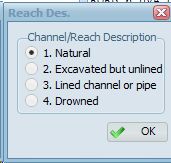
You will also be prompted to select the type of channel or reach description. This will be applied to all reaches and any exceptions will need to be manually made to the output file using a text editor.
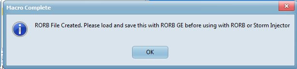
The RORB script only creates the information for RORB GE and not the actual RORB code. The RORB code can be generated by opening the *.catg file in RORB_GE and immediately saving it.
It should be noted that RORB GE does not support real-world coordinates, you may not see any nodes in the display when opening a file created in CatchmentSIM. If you wish to import the *.catg file into Storm Injector and retain the real world coordinates (for download of location based data from the Data Hub and IFD website), you should save the *.catg file immediately and close RORB_GE. This will retain the coordinates but add the necessary RORB code for running the model.
If you do not care about real world coordinates, you can use the View >> Rescale option (twice is sometimes necessary) to assign coordinates between 1 and 100. At this point, you will be able to easily view the node locations but real world coordinate information will have been lost.

RORB GE (after rescale)
The export of rainfall events to RORB is not currently supported since RORB does not currently support (as of v 6.32) spatially varying rainfall in the form of specific hyetographs for each subcatchment.