In order to use GSSHA in its simplest form (i.e., as a hydrologic model in a rural catchment), it is necessary to assign the following information to each grid cell:
•Elevation;
•Roughness (Manning's 'n')
•Rainfall; and,
•Rainfall losses.
In addition, it is generally necessary to create a 1-dimensional stream network throughout the catchment of interest.
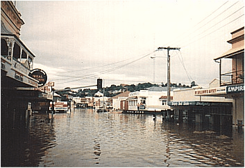
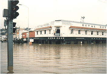
The following describes how to create each of the required grid layers and 1-dimensional stream network and run a GSSHA simulation for an example project. The example project is the February 1992 flood of the Mary River at Gympie in Queensland (refer to images below of the main street of Gympie during the 1992 flood).


The input data to complete the example project are located on the CatchmentSIM installation CD in the '..Tutorials/Tutorial 5/Data' folder. Alternatively, the input data can be downloaded from the CatchmentSIM Training Home Page (http://www.csse.com.au/training/).