Web Coverage Servers
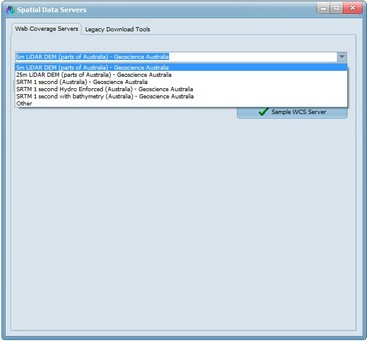
CatchmentSIM supports direct download of DEM data from Web Coverage Servers (WCS).
Currently, 5 WCS are directly linked via Geoscience Australia but other WCS can be used by selected Other and populating the URL directly in the second field.
After clicking 'Sample WCS Server', you should find your DEM automatically populated. Please note that some WCS such as the 5 and 25m LiDAR sources do not cover all of Australia.
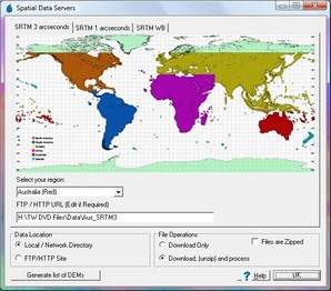
This forms provides access to online or offline repositories of data such as SRTM3, SRTM1 or SRTMWB.
If you have a local copy of the data files, select 'Local / Network Directory' and enter the data directory. Otherwise, you can select FTP/HTTP site and the NASA FTP site will be selected by default. Set any other required parameters and you can either generate a list of DEMs to be downloaded (which can be loaded into a download manager) or ask CatchmentSIM to automatically download the files, unzip and process (although this can be dependent on your connection and firewall).

