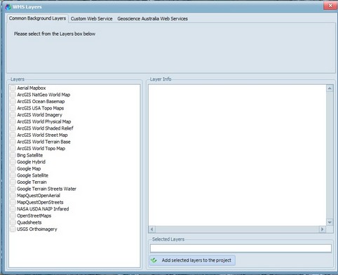
CatchmentSIM can automatically display background layers such as Google Maps, Bing Satellite and others. Simply check the checkbox for the layer you wish to add and click 'Add selected layers to the project'. At the moment, only one layer can be added at a time.
CatchmentSIM can also support other WMS Servers including Geoscience Australia (Geoscience Australia Web Services tab) and other WMS servers via their URL (use the Custom Web Service tab).
