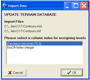
The import 3D contours menu option allows the user to import a contours GIS files (eg., ShapeFile, mid/mif) into the CatchmentSIM contours database. This option should be used if a DEM is to be interpolated from contours.

Since contour elevation data needs to be included, you will be asked to designate the data column in the GIS file that holds the elevation data relevant to each polyline or line segment. This data column should be a decimal or integer value.